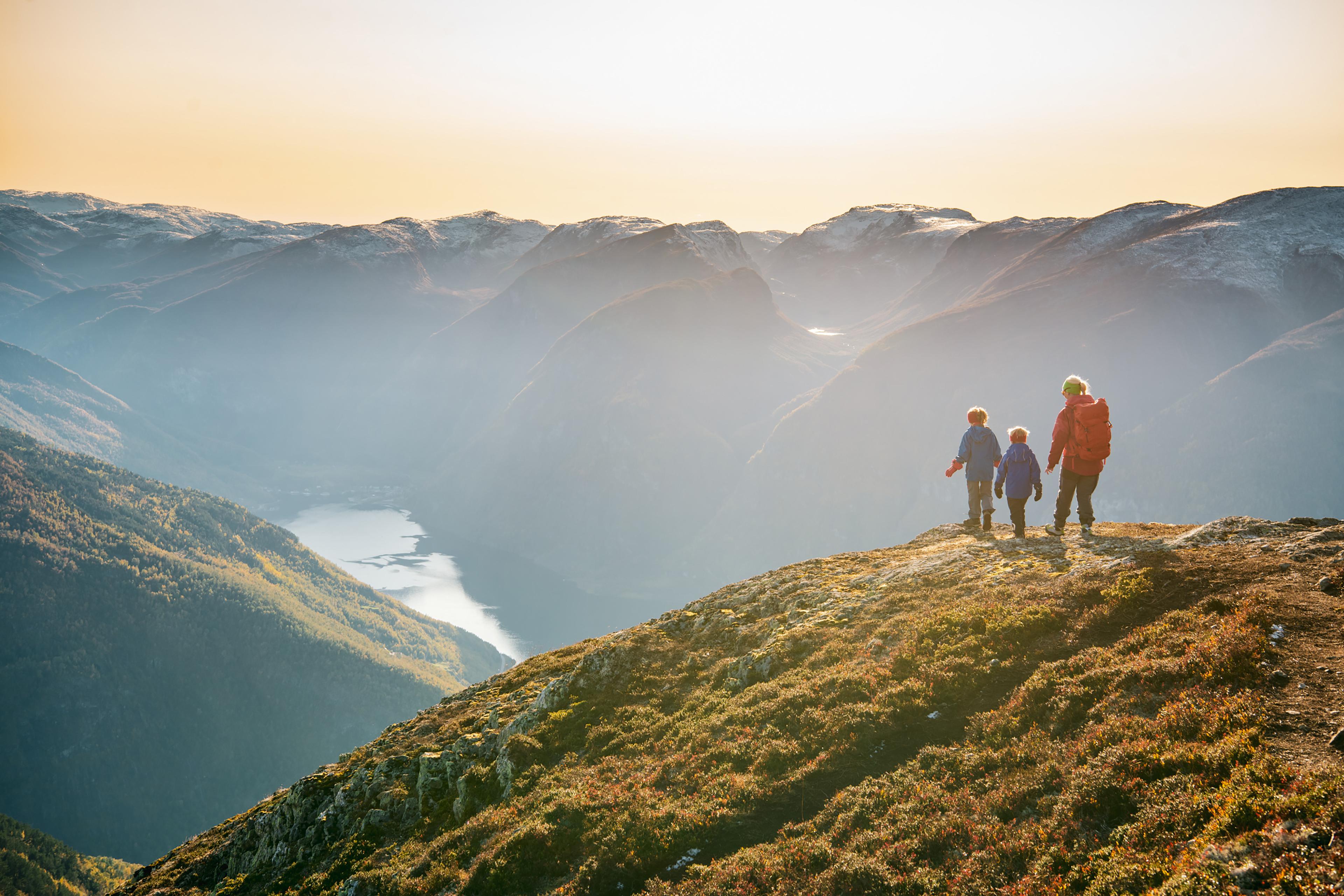
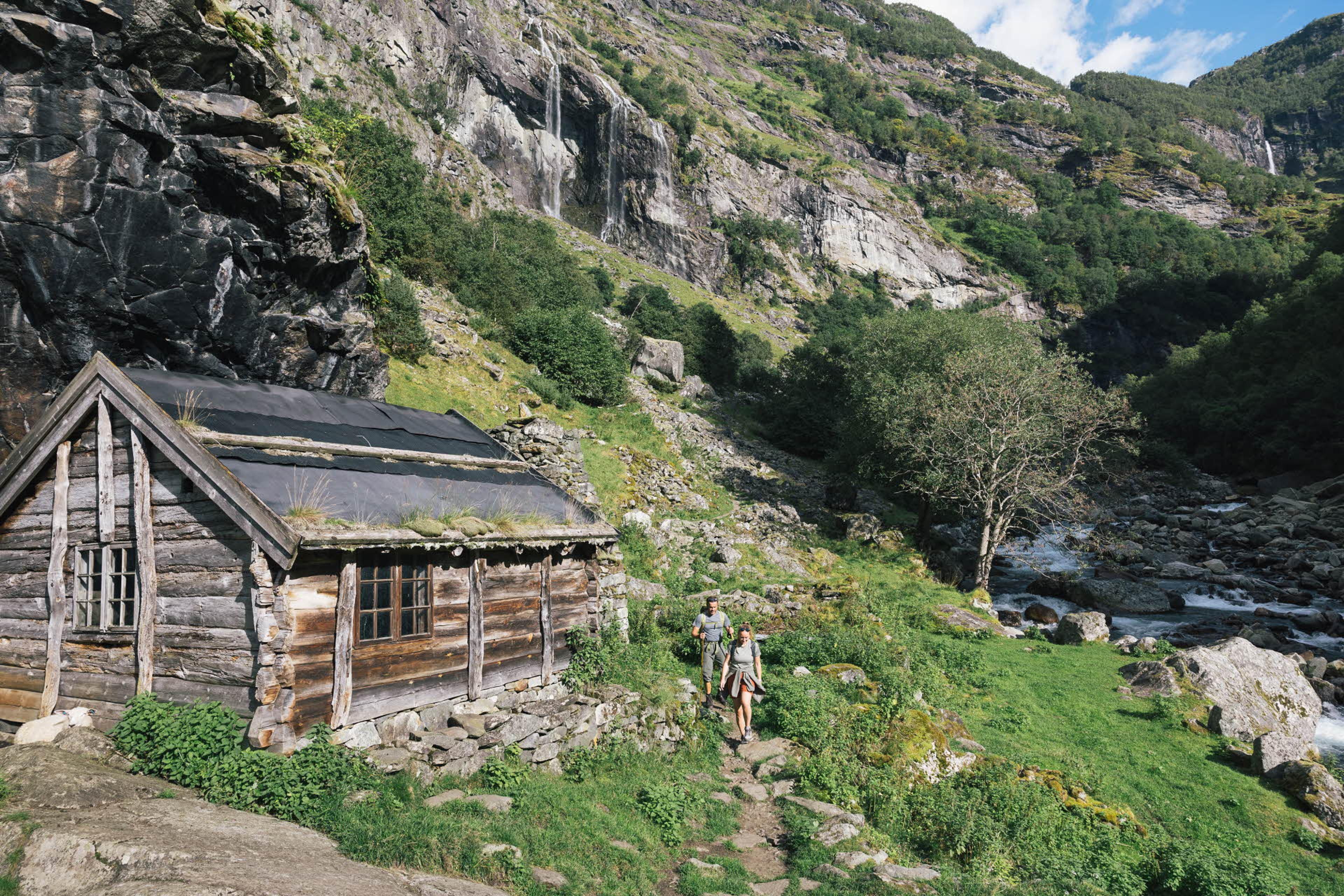
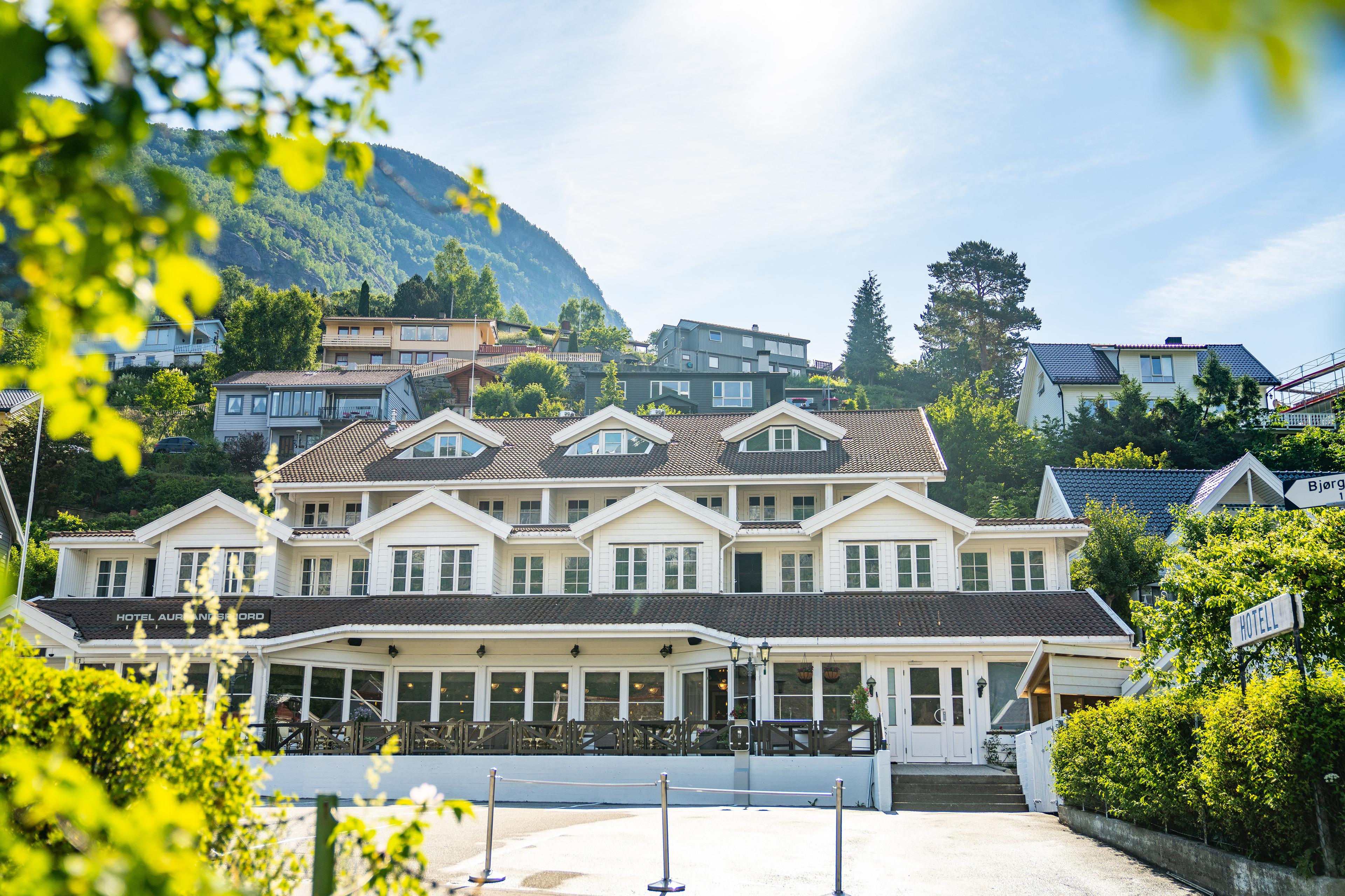
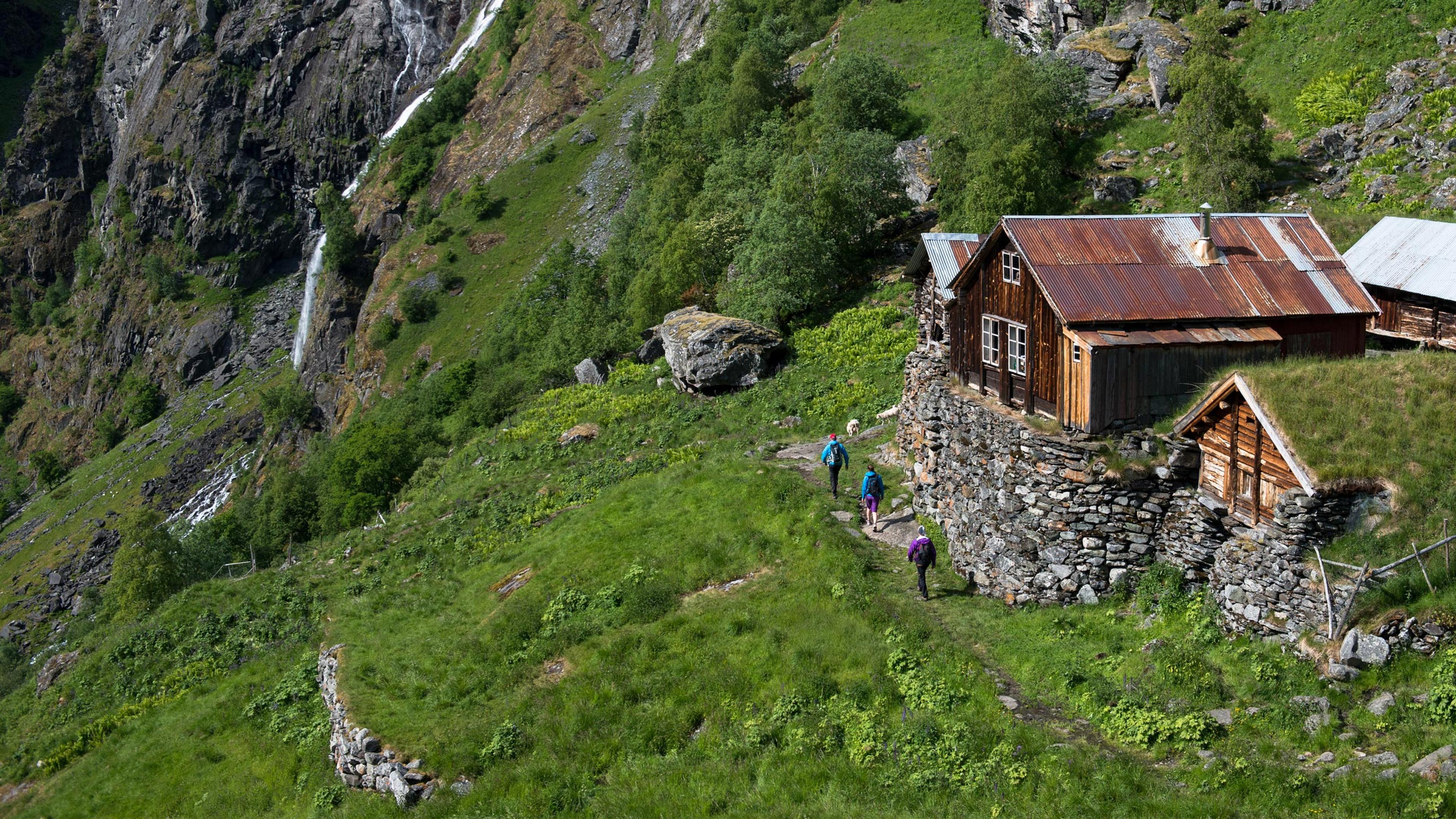
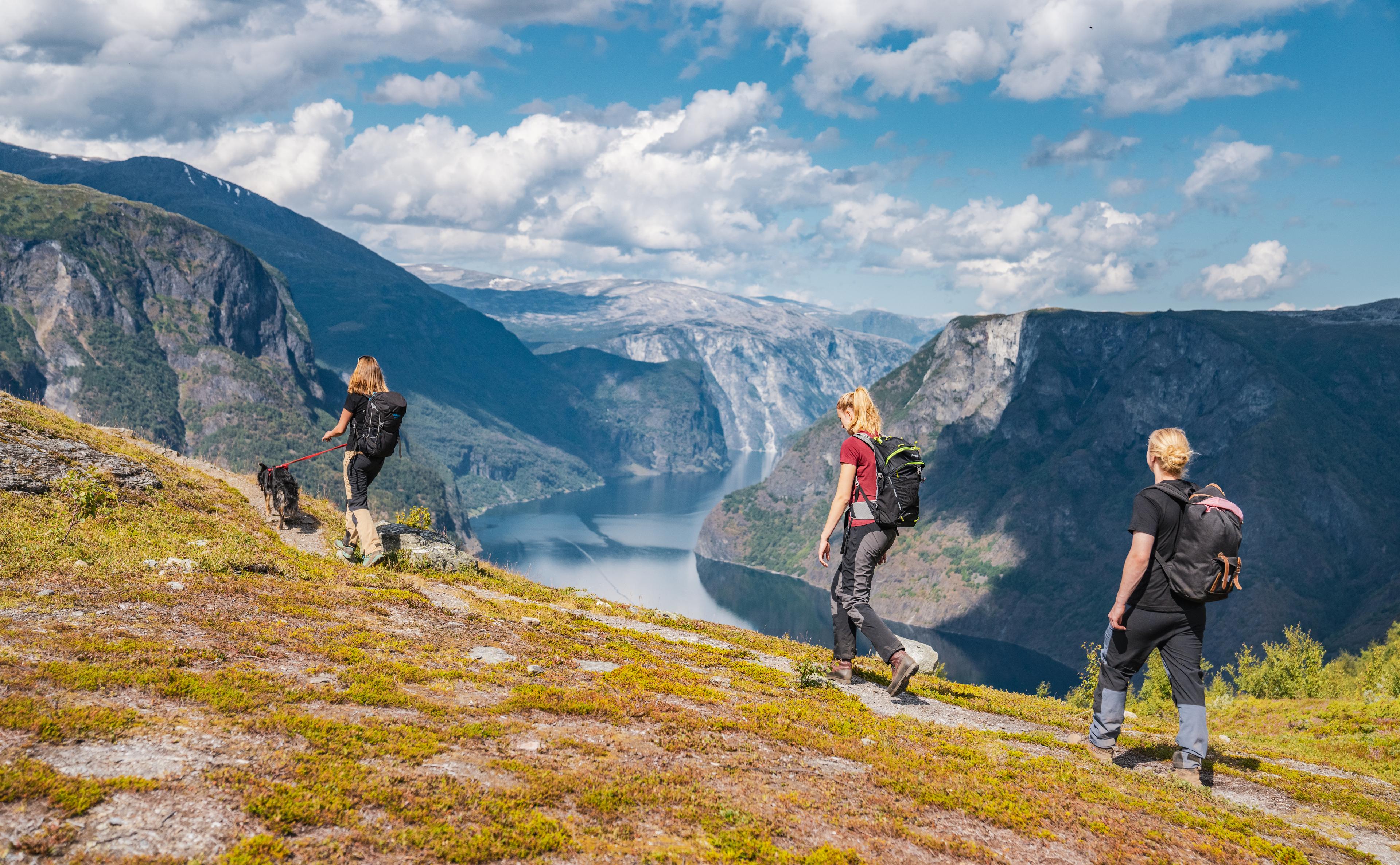
Skip to content
Back to Things to do in Flåm

Hiking package Aurland

Spring, Summer, Fall

The area surrounding Flåm and Aurland offer plenty of wonderful hiking options. Whether you want to challenge yourself on steep trails with fjord views, hike through lush and spectacular valleys, or simply want an easy stroll along the fjord, you can find it here. Book the hiking accommodation package and you can focus on your hiking adventures, while we will assure you will feel rested, full and happy.

Book now

Hiking package- accommodation at Fretheim Hotel

Do you plan for hiking in the beautiful mountains in Aurland? This package includes stays for 2 nights.

The package includes:

  • Dinner both evenings. Dinner buffet or a 3 course set menu will be served.
  • Breakfast both days
  • Selfmade lunch package day 2.
  • Local drink and cured meat after your hike.

When booking this offer you stay at “Fretheim Hotel”.

Book her

Included in the hiking package

2 nights at Fretheim Hotel

  • Notice! Price applies to 1 person per night
  • Standard room with breakfast
  • Packed lunch
  • Refreshments at the end of your trip
  • Dinner

Fretheim Hotel offers the perfect back drop to a wonderful hiking holiday. This package includes two nights in a comfortable room including breakfast, self-packed lunch from the breakfast buffet, and dinner in Restaurant Arven both nights.

When you return from your hike, you can kick back with the included après hike refreshments. We will have plates of locally produced cured meats and the drinks of your choice ready.

Transportation to and from the hiking routes is not included, but the train and bus station is within a couple of minutes’ walk from the hotel.

Good to know

Season

Spring, Summer, Fall

Hiking Maps

Enjoy short hikes in and around Flåm. You can download maps or pick them up at Flåm Visitor Center:

For more detailed information on the specific route maps, please ask in Tourist Information at Flåm Visitor Center.

Safety first

  • Always wear shoes or boots that offer good support and that are suitable for mountainous terrain
  • Always bring extra warm windproof and waterproof clothing
  • Always bring extra food and drink
  • Always check the weather forecast in the area
  • Always tell someone which route you're taking
  • Always follow marked paths as the terrain outside the paths can be dangerous

Good to know

  • Are you planning to come in spring or early summer, check that the route you plan to walk is open and free of snow. Applies to f.ex. Aurlandsdalen.
  • Mobile coverage in the mountains and valleys in the area is unstable and sometimes there is no signal at all.
  • If you encounter bad weather such as fog etc., return to the starting point following the hiking trail.
  • Open flames are not permitted due to the high risk of fire
  • Littering in nature is prohibited
  • Walking poles offer great support, especially when going downhill
  • Pack lightly and have fun!

Bus services

Hiking in Aurland

Guided hike in Aurlandsdalen

Guided hike in Aurlandsdalen

Aurlandsdalen Valley is one of the finest one-day-hikes in the area. The Valley is known as Norway's Grand Canyon, and when walking through it you get close to both spectacular landscape and cultural heritage.

From
Buy
Guided hike to Mt. Prest

Guided hike to Mt. Prest

At 1,478 metres above sea level, Prest is one of the most popular and scenic hikes around the Aurlandsfjord. By booking a guided trip, you will learn more about the local area, while taking away the stress of organisation, transport and safety.

From / per person
Buy
Bus to Aurlandsdalen Valley

Bus to Aurlandsdalen Valley

Hiking bus to the Aurlandsdalen Valley is a flexible and practical transport offer to make use of if you want to hike the well-known, beautiful Aurlandsdalen. It operates on the route between Flåm, via Aurland, Vassbygdi, Stondalen and Østerbø. The schedule is adjusted to the average time that is needed to walk the valley, so you do not need to stress that you will miss your transportation back to your hotel.

From / per person
Buy
The Flåm Railway, Hike & Bike Package

The Flåm Railway, Hike & Bike Package

Combine the iconic Flåm Railway with a scenic walk down the 21-hairpin bends of Myrdalsberget and an idyllic bike ride through the Flåm Valley.

From / per person
Buy

Landscape and fauna

When hiking in Aurland municipality you will be surrounded by a dramatic and rugged fjord landscape, thundering waterfalls and scenic views wherever you go. The fauna is rich in eagles and seals and there are sometimes killer whales in the fjord. The landscape's geology varies from lush valleys to inaccessible rock faces and glaciers. The UNESCO-listed Naeroyfjord and Aurlandfjord run straight through the area, and some of the hikes listed below have fantastic fjord views.

With all the hiking options available, it can almost be difficult to choose. However, there are some routes that are more popular than others and also easier to get. The first is the wild and beautiful Aurlandsdalen valley from Østerbø to Vassbygdi. It is a full day hike, easily accessible by the bus from Flåm and Aurland to Aurlandsdalen.

The second is the steep but rather short path to Mt. Prest. Here you are rewarded by the panoramic views to the Aurlandsfjord almost the entire walk. Catch the bus to Mt. Prest to get here.

Third is the Flåm Valley. Maybe best known for the Flåm Railway and cycling, but no less beautiful on foot. It is a full day hike partly on gravel, partly on paved road. Start with the famous Flåm Railway and begin walking at either Vatnahalsen or Myrdal stations.

© Sverre Hjoernevik

Tips for hiking in Aurland

This map contains our hiking tips for this region that will suit both the mountain climber, the exercise enthusiast and the bon vivant. Click on the numbers in the map to learn more.

  1. Aurland Valley 1,644 metres above sea level, 7 hrs, 16.6 km Grading: Demanding
  2. Prest 1,478 metres above sea level, 3–4 hrs, 2 km/return, Grading: Demanding
  3. Flam Valley 866–8 metres above sea level, (Flåm–Myrdal) 4–5 hrs, 20 km, Grading: Medium +
  4. The Rallar Road 1,337 metres above sea level, (Haugastøl–Flåm 10 hrs), (from Finse 5–6 hrs) Total 79 km, Bicycle, Grading: Medium +
  5. Rimstigen 686 metres above sea level, 2 hrs, 2.6 km/return, Grading: Demanding
  6. Turlifossen 600 metres above sea level, 1–2 hrs, 2,5 km, Grading: Medium +
  7. Hovdungo 600 metres above sea level, 2 hrs, approx 6.9 km from E16, Grading: Medium +
  8. Volda/Bell 200 metres above sea level, 1.5–2 hrs, 4.12 km starting from Aurland town centre, Grading: Medium
  9. Vatnahalsen/Reinunga Mountain/Lake 800 metres above sea level, 2–4 hrs/return, Grading: Medium
© Jon Hunnålvatn Tøn

Hotel Aurlandsfjord

Alternatively, you can stay at ‘Boutique style’ Hotel Aurlandsfjord in the city centre of the calm Aurland municipality, close to cafes, gastro pub, grocery store, cosy old-school movie theatre, church, the famous Aurland shoe economusee, local traditional glassblowing and a lagoon great for picnics and for a chilly dip, summer and winter.

More articles

All articles
Plan a hiking holiday in Aurland | Norway’s Best